The Badlands
Moving to Montana Soon
June 13 Bismarck to New Salem 33 miles, 1,500 feet
In Bismarck, I rested, enjoyed a swim at the hotel pool, bought a spare folding tire from a great bike shop, and made some decisions about the course ahead.
Lewis and Clark continued north, up the Missouri to the Knife River, where they wintered on Mandan land. They had a confrontation with a small band of Sioux, who stole weapons. I can’t remember if a horse was also stolen. Clark lobbied hard to get Mandan chiefs to exact revenge, but the chiefs didn’t feel it was practical, especially in the winter. (I feel like the incident put them crossways to one of the goals of the expedition, which was to negotiate peace between tribes.)
By early spring, when the expedition pried the keelboat from the thawing river, they were ready to move west. A large contingent of the men aimed that keelboat back south, loaded with copies of maps, plant and animal specimens, copies of field notes, etc. to take back to Jefferson. Some of the men on the boat departed in disgrace because of crimes they committed up to this point. I want to check my memory when I get back home, but I don’t think there were any courts martial after this. Maybe the first leg of the journey served as a shakedown of all the men who were likely to sleep through their watch, desert, or utter seditious remarks. Maybe the captains were a little more forgiving in the second leg. Or maybe, things just got more real. When the expedition veered west, they entered territory that was completely new to them.
The Mandans helped Lewis and Clark sketch a rough map of what was to come, but there would be no place to ask for directions for a long time. Both the river and the land was going to be completely foreign to them, and the journey was going to batter them physically, mentally, and spiritually. Of course, a woman and her baby joined the expedition at this point: Sacajawea, whose harsh life deserves more than the soft focus romance of the children’s books so many of us grew up reading.
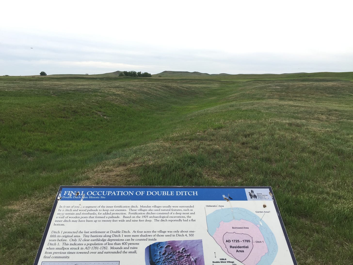
My journey departs from the expedition’s route for the next week or two. Instead of going north to Washburn, I’m taking a shortcut pretty much directly west from Bismarck. I didn’t take this shortcut in 2018, so I know what I’m missing: a reconstruction of the fort they built in Washburn. The site of the Mandan Double Ditch village. The yurt at the delightful Cross Ranch State Park, near where I saw my first and only buffalo. I’d love to go back to those places, but I’ve got some new experiences ahead, so I’m doing some trimming. I’ll take another shortcut after Great Falls. More on that later.
The Adventure Cycling Association issued an alert about road conditions ant an overpass 30 miles west of New Salem. They are building a new bridge on the divided highway. Four lanes will be squeezed into two, and westbound traffic won’t have a shoulder. I would need to catch a ride over that bridge. The hotel manager introduced me to Mitch, who is willing to take me in his pickup.
The Arrowhead Motel in New Salem might be my favorite motel so far this trip. I’ve been in newer hotels with nicer rooms, but I’ve never had a manager knock on my door offering me a big plate of spaghetti!
June 14 Hebron to Dickinson 42 miles. 1470 feet elevation (got a lift from New Salem to Hebron
Mitch gave me a ride over that troublesome overpass to the exit at Hebron, where I packed my bike and rode on, with a slight wind at my back for an easy ride to Dickenson. (Hebron has a history as a brick manufacturing town. I love that. Can’t explain why.)
At the town of Taylor, I did a stupid thing.
Not as stupid as giving a $50 billion compensation package to a narcissistic tech-cult leader —but when you scale it down, my mistake looks pretty stupid.
Here’s what happened: I rested on a bench in front of a bar, then rode off without my backpack. It was early. The bar was closed. The town was quiet.
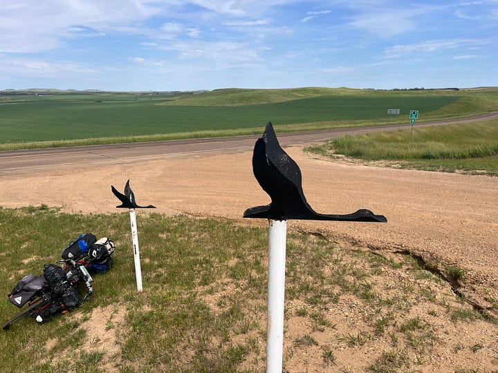
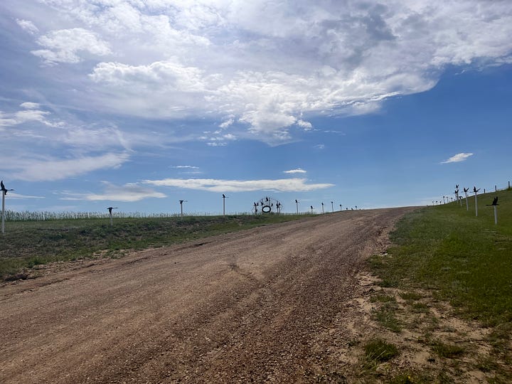
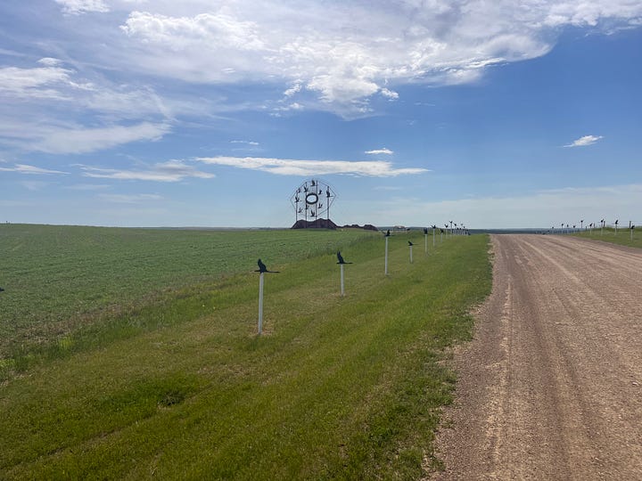
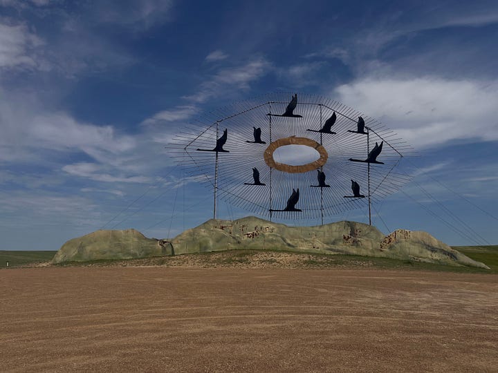
Past the town, I came upon one of my favorite sites from my 2018: the Taylor Fairgrounds where there’s a piece of kinetic art, a wind-powered carousel of sorts, with bicycles and miniature tractors in perpetual motion, propelled by the wind. Several miles later, another sculpture appeared, high on a hill in Gladstone. It took a couple of miles to get to it, but I came to a rutted gravel road that led up to the top of the hill. The road was lined with posts of different heights topped with black metal geese pointing the way. And there it was, this massive eye-shaped sculpture called “Enchanted Highway: Flight of Geese.”
I didn’t realize I was missing my backpack until I got to the hotel in Dickinson. The backpack had two essential items: my raincoat, and the zip-on legs to my adaptable short/long pants. I would need a pair of long pants, and I would definitely need a raincoat. I thought about googling sporting goods stores in Dickinson, but took one desperate shot in the dark.
Using Google maps, I zoomed in on Taylor to see what businesses were near the bench where I must have left the backpack. The bar was still closed, but there was a bank next door. I found the number and called. I asked the teller if she would mind poking her head outdoors to see if I left my backpack there.
She didn’t have to. She had already noticed it— and had informed the county sheriff, who had picked it up and brought it to the main office in Dickinson— about 5 blocks away from the hotel, sitting in an evidence locker. I rode the five blocks, filled out some paperwork and returned to the hotel feeling like I didn’t deserve to be so lucky.
June 15. Dickinson to Medora. 28 miles. 1500 feet elevation
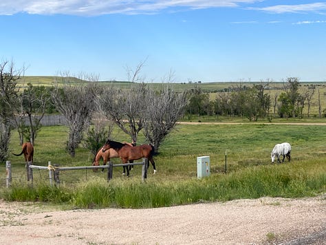
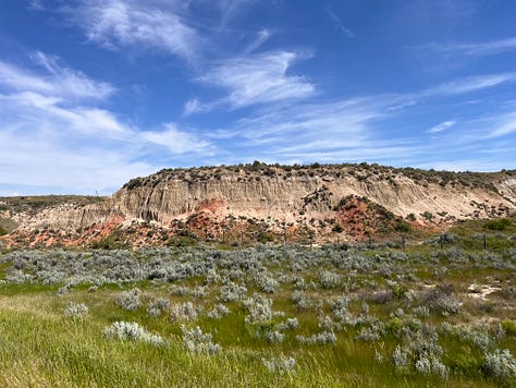
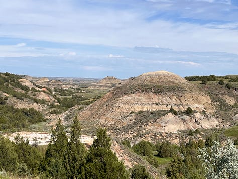
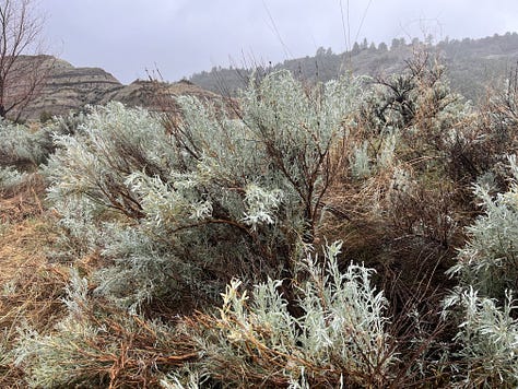
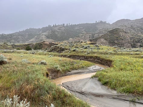
Medora is a tourist town. It was hot. The campsite was hot. The tent wasn’t habitable until 6 o’clock at night. At 7, it got windy. I didn’t sleep well. But getting there was worth it. The scenery was beautiful.

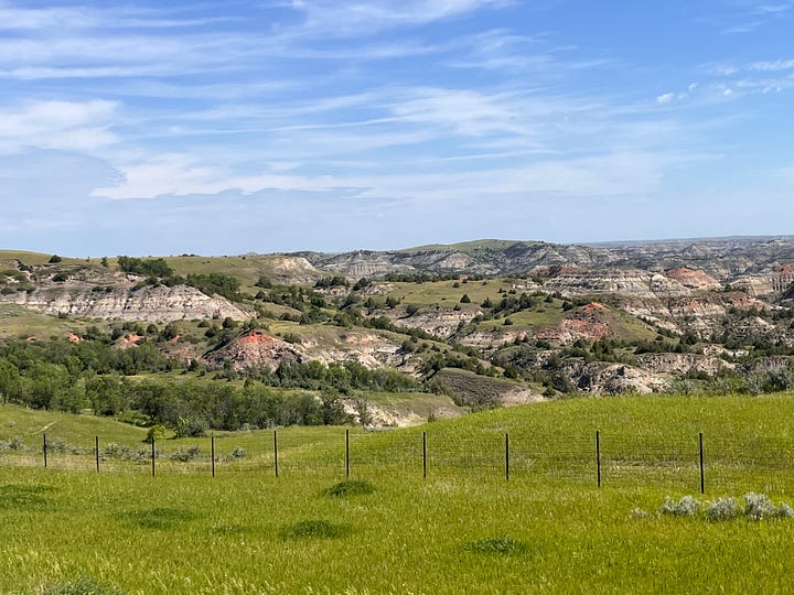
June 16 Medora to Beach, 28 miles. 1500 feet elevation
This short ride might have been the toughest ride yet. The wind did not let up: 25 mph gusting to 40.
June 17. Beach, ND to Glendive, MT 38 miles, minimal elevation
The wind subsided, and I rode on the Interstate, which means the hills were always within a minimal grade. Easy riding. I took a day off to explore Makoshika State Park. Makoshika is the English mispronunciation of a Lakota word meaning “badlands.”
My rides are going to get longer now, and I’m watching the weather app, threading the needle if I can, to avoid these longer rides against a hard wind. What’s next is sort of a parallel universe to Lewis and Clark’s historic journey. The distance between services --water, campsites/hotels, food-- will be longer for a while.
The familiar part of the trip is over for now, at least. From here to Missoula, everything will be new. Then, after Missoula, if I’m feeling strong enough, I’ll attempt the Lolo Motorway.
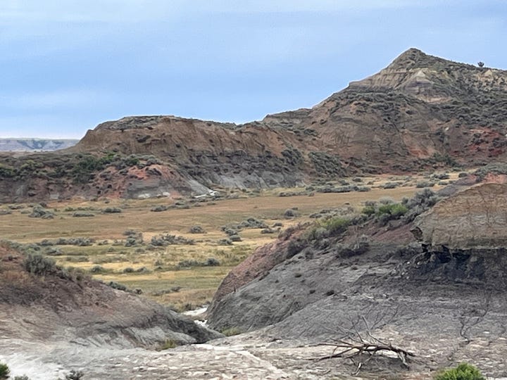
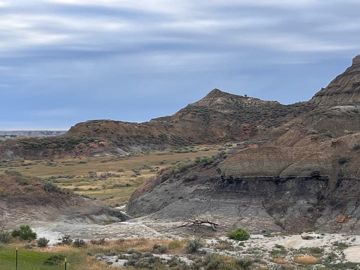


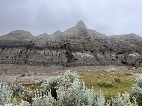

I am delighting in your beautiful photos and fascinating descriptions of your journey, and I am heartened by the kindnesses of the people you are meeting. Ride On/Write On
What dramatic photos! And what a tale about your separation from and reunion with your backpack!