
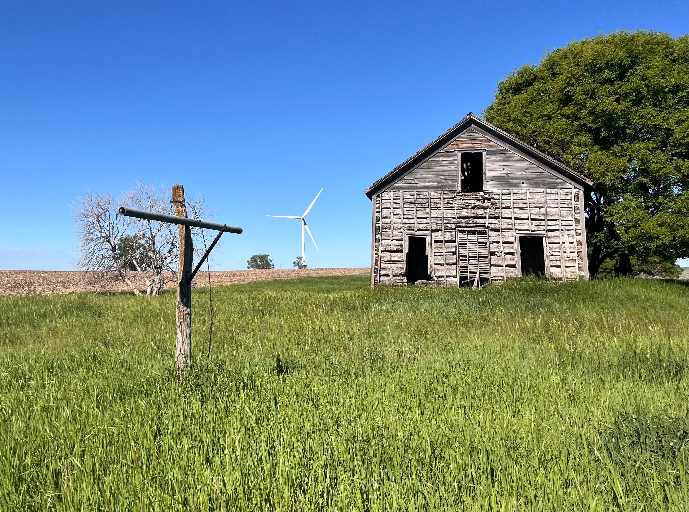
June 4, 17.6 miles, 860 feet elevation.
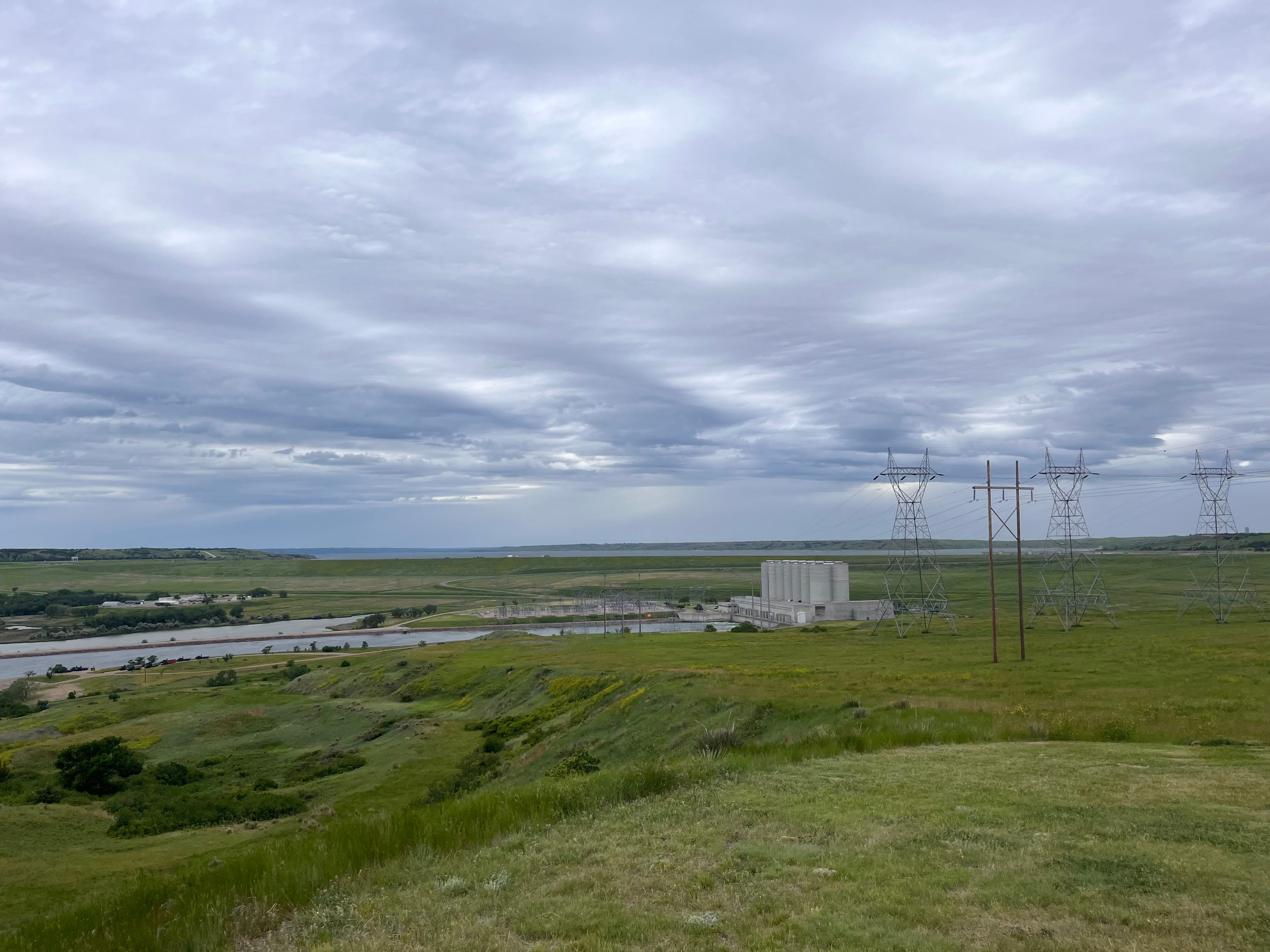
Headwinds. The route led me out of the city up some hills, traveling northeast until I could get back on South Dakota Highway 1804, named after the year Lewis and Clark began their journey west. (There’s also a Highway 1806, referring to the year they returned.) I passed the “approximate geographic Center of North America” according to Google Maps, but I didn’t see the sign. It was a hard wind, exposed on the high ground above Lake Ohahe— the engineered lake stretching from here all the way to Bismarck, North Dakota. I passed the power station turbines below, and the signs commemorating the troubled encounter between Lewis and Clark and the Teton Sioux.
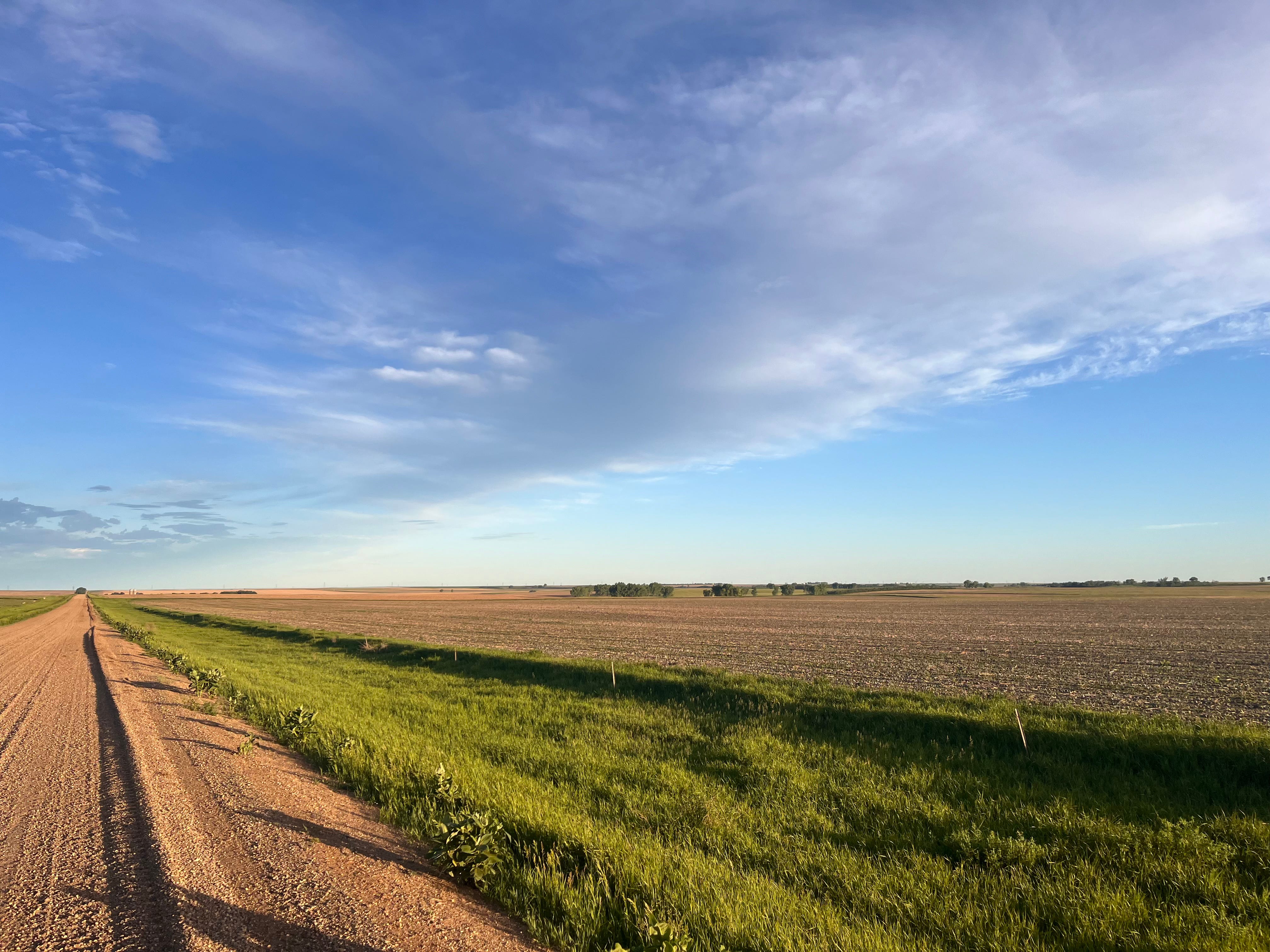
The wind was gusting in the 30s, according to the weather app, from the north west. Wind like that creates unique challenges. Without wind, a hill, even a steep hill, is manageable, because it is predictable. You find a gear that is low enough to pedal at a sustainable pace. But wind isn’t steady like a hill. It leans into you. You lean into it, then it lets go, and suddenly you’re spinning fast and hard with no resistance. You slow the spin, shift up, and just as you find your rhythm, the wind surges again.
When trucks pass by, they create a temporary guard against the wind, which disappears faster than it appears. Once, on an uphill curve, a big truck created a bizarre micro-current that slapped hard.
But wind does something more. It pulls you inside yourself. The landscape recedes. The map. The history that on other days seems to echo in the land--all that is drowned out. I didn’t even know how tired I was until I stopped riding for a break overlooking the turbines. I learned from the signs posted at the lookout that the massive hill I was standing on was put here as part of the flood control project authorized in 1948, and I couldn’t help but be in awe of the energy and power that dug up all this dirt and gravel from somewhere--probably from the lake 1000 feet below me.
I also learned that somewhere within sight was the supposed spot where Lewis and Clark had a tense confrontation with a band of Teton Sioux. The whole incident is very confusing to me. From the L+C Journals, as I remember it, the Tetons were not happy with the trinkets they were offered. Clark thought some of the chiefs were pretending to be drunk to excuse some of their belligerence, but they didn’t want to get off the keelboat, and they didn’t want the expedition to leave.
Again, I’ll need to review some of this material when I’m back home, but what I gathered from a book about the Native American perspective of the expedition, there were lots of avenues for miscommunication. First, there was the language. Translation was never as clean as Lewis and Clark thought it was. Second, think how strange this expedition must have seemed. In this part of the river, Indigenous people were used to seeing Whites—French people mostly, traveling up and down the river with their wares. The French had somewhat harmoniously inserted themselves into already established lines of trade north, south, east, and west. But the big keelboat and the 40 some people of the expedition didn’t look like the familiar groups of traders. They were carrying a lot of stuff, but all that stuff had to buy themselves passage to places they didn’t know anything about--and back again. They thought of themselves as diplomats and spies—not traders. They must have seemed strange.
And the fancy weapons, meant to entertain as well as awe their hosts, might have just seemed provocative to the Tetons. In addition, the Tetons had good relations with the British, who, in the years leading up to the War of 1812, were not happy to see the United States spreading West. At any rate, there was a stand-off, and it might have turned ugly but for Chief Black Buffalo, who diffused the tension.
Some of that was written in the wind-blown historical markers I stopped to read, some of it wasn’t. All of it disappeared as I got back on my bike and rode on in the all-encompassing wind to Cow Creek Recreation Area where I camped for the night, tired and lonely.
The wind died down that night, but returned the next day--and the next. On the third day, it shifted direction, slightly, and I could be myself again, interested in the landscape and the history again.
June 5 41 miles to Forest City 962 feet elevation. Stayed in a hotel
June 6 28 miles to Akaska. 1300 feet elevation
This is near where Lewis and Clark met the Arikaras. The Arikaras seemed to like the expedition’s message about making peace with conflicting groups--especially if the Sioux could be convinced. The Arikaras were pretty battered up by the Sioux, according to Lewis and Clark. An Arikara chief witnessed the expedition’s punishment of a member for seditious speech, and protested that the punishment (lashes --I think it was 75). Clark says that when he explained why it was necessary, the chief came around to his point of view. Lewis and Clark always seem to do that. They always seem to think that their superior wisdom burns through all resistance--different values, different languages, different histories. I think they might be a bit unreliable.
June 7. 28 miles to Mobridge.
The first 10 miles or so was on a loose, sandy gravel road.
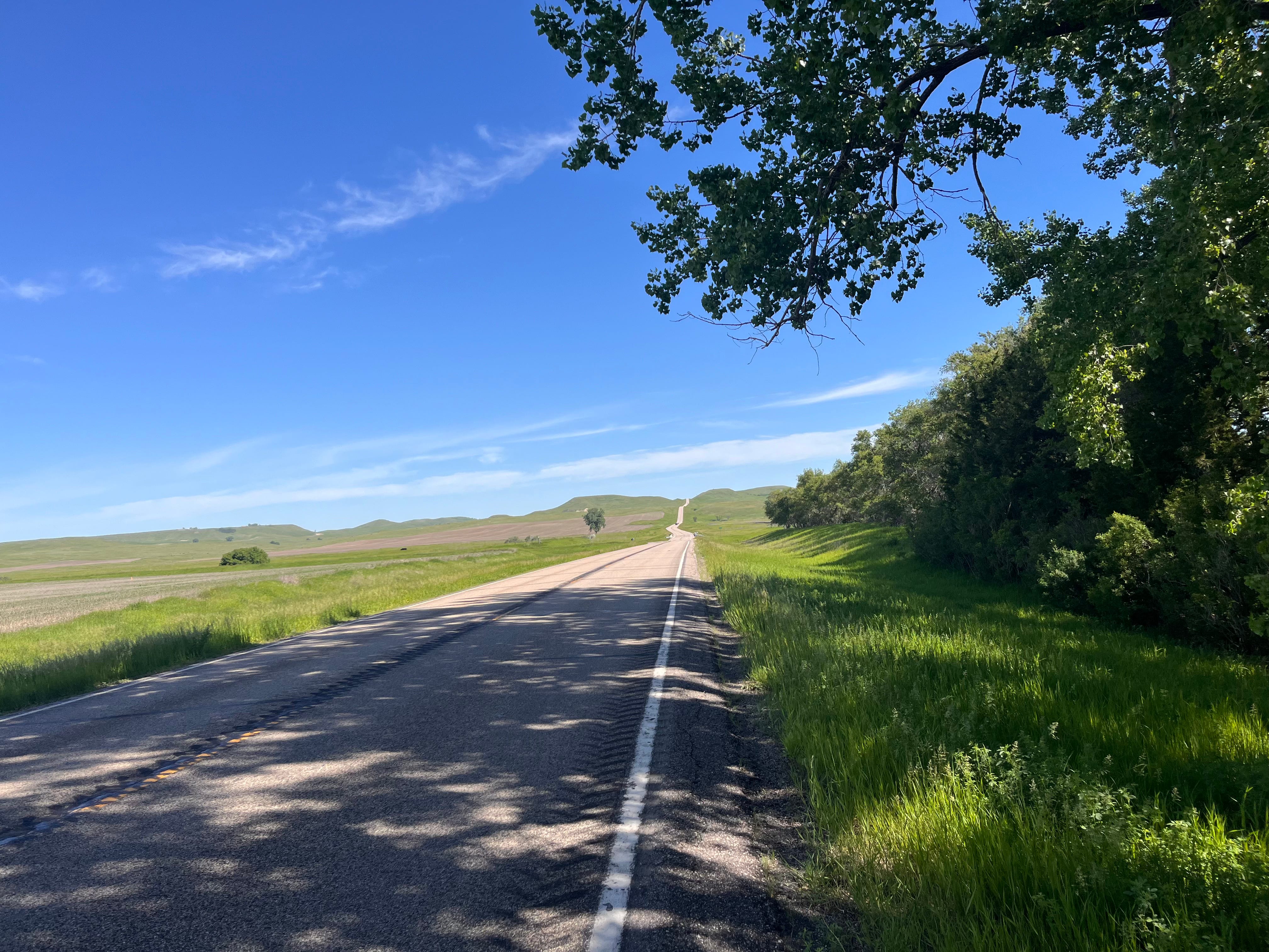
June 8. 37 miles to Pollock on some very steep hills: 1789 feet elevation
I camped in the city park, had a great chat with two couples, learned about the motorcycle rallies they organized, and a little bit about ranching. I had noticed some horses--but not many--and I asked them if ranchers still had any use for horses. They said, in general, no, but they did encounter a rancher on horseback while they were out elk hunting in a remote area. The rancher was looking for some cows, and the horse, for whatever reason, seemed like the best means.
June 9 55.6 miles, 2600 feet elevation. To the Hazelton Recreation Area in North Dakota
My toughest ride so far. By the time I got through the last big hill, I was out of water, my sides were aching, my legs didn’t want to push any more, I felt like I didn’t have anything left. Luckily, there were a few easy miles to cool down. But there was good water at the campsite. I had this Corps of Engineers campsite all to myself for the night.
I was a little discouraged about being this worn out. When I rode in 2018, I rode the whole way from Mobridge to a campsite shy of Hazelton in one go. That was more than 90 miles. I could not have done that now. Or maybe I could. It was different. In 2018, I spent several days resting in Mobridge before riding out. But I’m not in as good condition now as I was then.
June 10 30 easy miles to Bismarck, and about 1100 feet elevation
I’m finishing up a much-needed three-night rest in Bismarck! I’ve now traveled about 1200 miles. I’ve used the time to adjust my itinerary a little. I think I’ll take a short-cut once I get to Great Falls, cutting between 200 and 300 miles from my original plan.
I know this country. I can't imagine pedaling against the wind. Check your notes. You may be in the same shape, but the wind may not be.
So well written, that it is hard to choose. But I think my favorite sentence is: "But wind isn’t steady like a hill."